


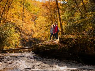

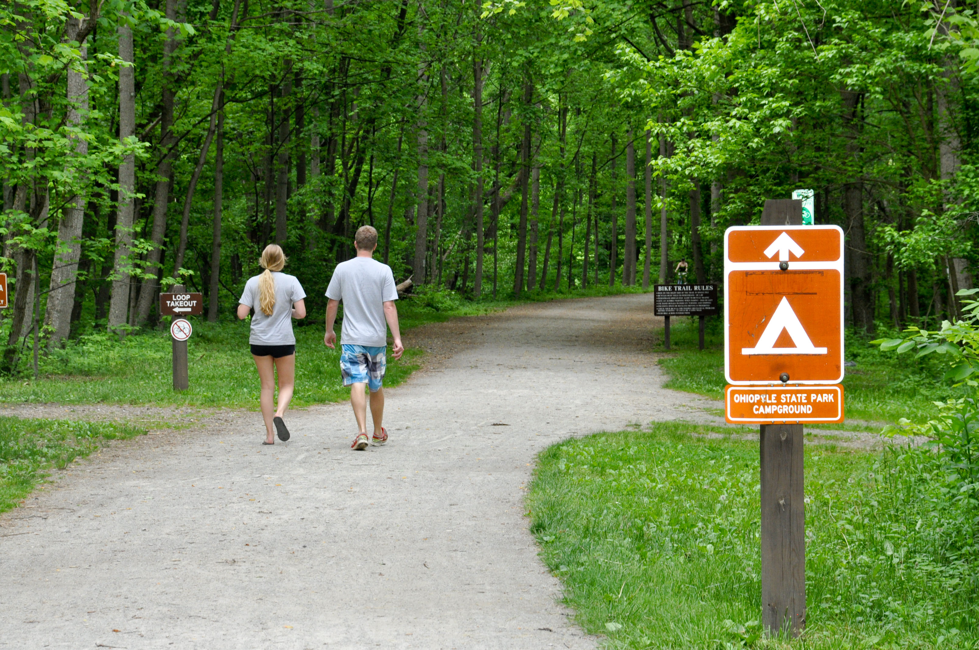
The PA Laurel Highlands and Ohiopyle are home to 120,000 acres of state parks that offer some of the best hiking trails in Pennsylvania.
 Take a hike you won’t forget across some of the best terrain in Pennsylvania through laurel-covered mountains and water-carved valleys. Look out over incredible vistas, find a peaceful spot in the wilderness, and catch a glimpse of the area’s diverse wildlife. With eight state parks and two state forests as well as local parks in the PA Laurel Highlands, you’ll never run out of wilderness to explore. Many of these parks offer great opportunities for biking, swimming, fishing, hunting, bird-watching, and winter recreation. Each of the eight state parks in region offer a variety of amenities to make your experience even better – like cabins, tent and RV sites, and yurts. See the picturesque rolling hills, steep mountains, Pennsylvania’s deepest river gorge, and even a few sandy beaches for yourself. There’s so much to do that it’s hard to choose just one park or one trail!
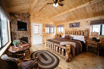
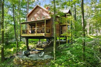
 If you’re not interested in roughing it, there are plenty of vacation rentals, cabins, hotels, and other places to stay that keep you close to all the action with all the comforts of home or let you indulge in luxury after a vigorous day of hiking. BACK TO TOP
Great Views and Not-to-Miss Spots
• Baughman Rock Overlook in Ohiopyle State Park: Get the view without the long trek. Walk just a short distance from a parking area to see an incredible panorama of the Youghiogheny River Gorge.
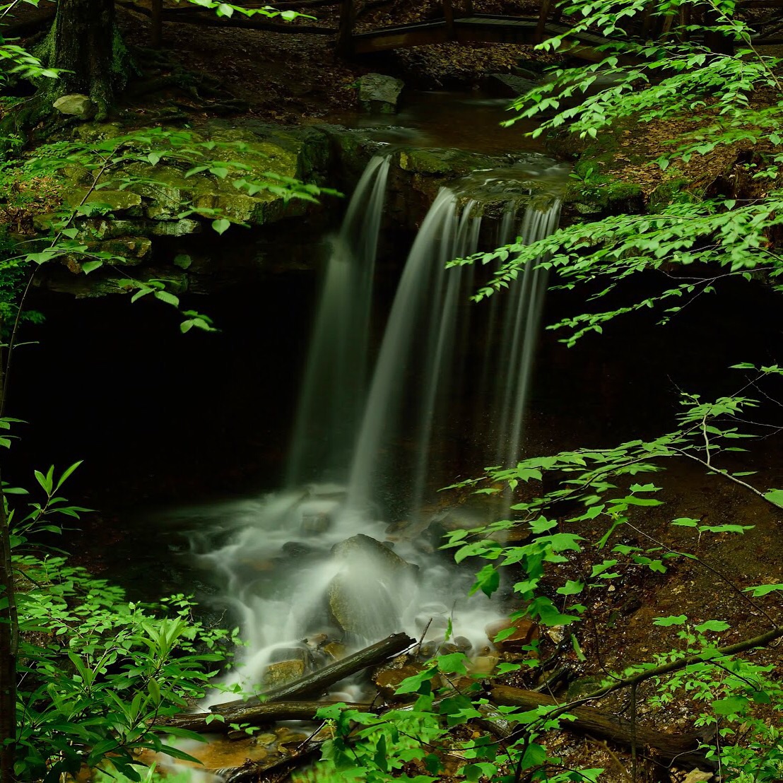
 • Cucumber Falls in Ohiopyle State Park: A highlight of Ohiopyle, Cucumber Falls is a 30-foot waterfall nestled in the trees, just a few steps from a parking area. Enjoy the view with or without the hike.
• Spruce Flats Bog and Wildlife Area in Forbes State Forest: This 300-acre wildlife area is home to unique plants not seen in this locality since the last ice age. In the area, you’ll find cranberry, cotton grass, and insect eating plants as well as an abundance of wildlife.
• Mount Davis in Forbes State Forest, the highest point in Pennsylvania at 3,213 feet, offers a spectacular view of the Laurel Highlands from the observation tower. Check out the tower in autumn for an awesome view of the colorful foliage.
 Laurel Highlands Hiking Trail
• 70-mile backpacking and hiking trail
• Meets the 1,000-foot Conemaugh Gorge near Johnstown
• Overnight areas every 8-10 miles
• Connector trails lead to and from parking and shelter areas
• Also known as Laurel Ridge State Park
Hikes Worth The Walk
Suggested hikes for all intensity levels!
Easy Walks
Davis Run Trail in Keystone State Park: Davis Run Trail (easy hiking) is a 2.5-mile trail that meanders through wetlands before reaching an upland forest of mixed conifers and mature hardwoods. Along part of the trail the conifers form a scenic tunnel.
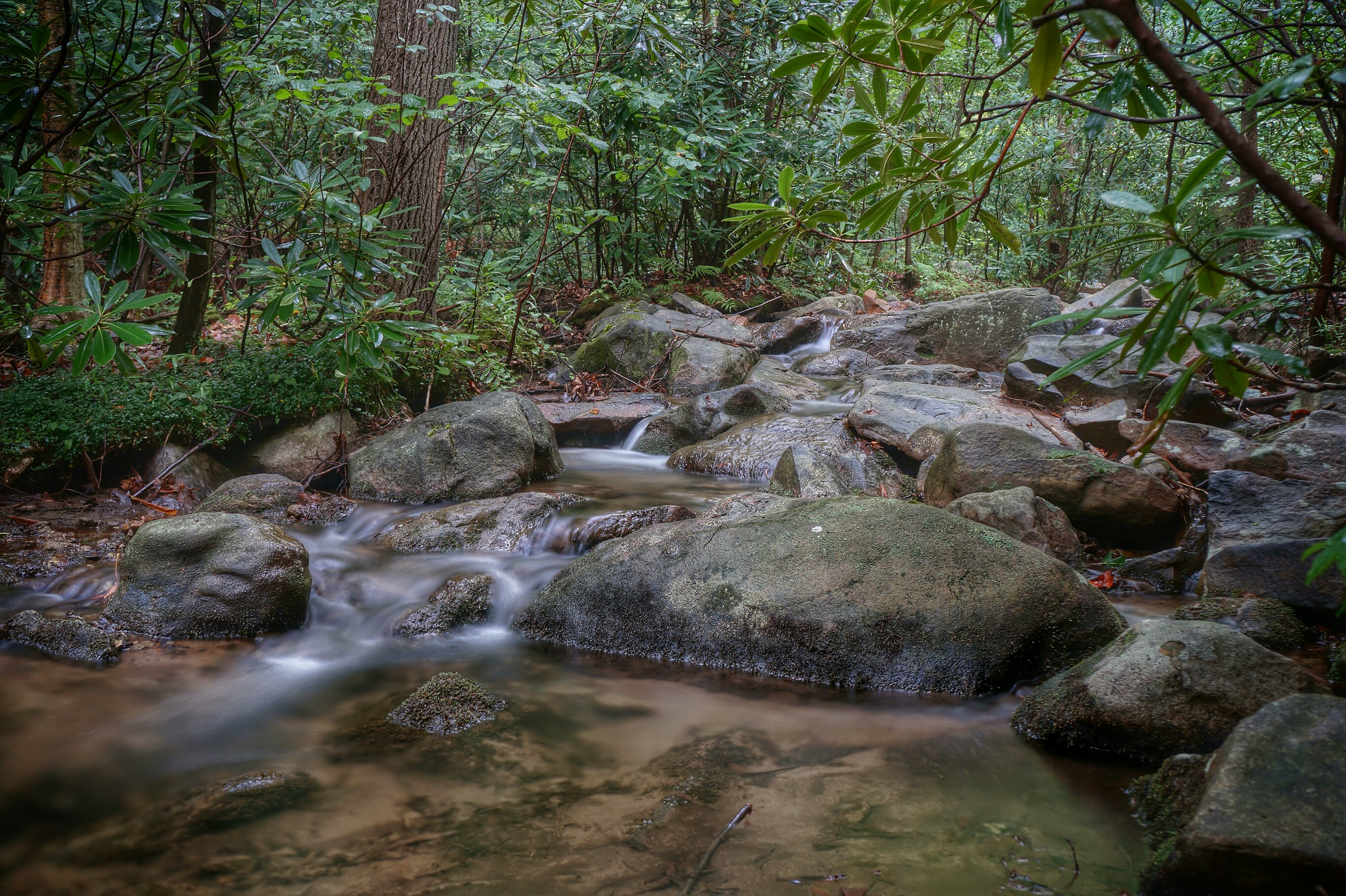
Cole Run Trail in Forbes State Forest: Although this trail is only 2 miles long, you can make a relaxing 3 mile loop by incorporating Cole Run Road into your hike. Park at Cole Run Falls and follow the trail south along Cole Run. The trail will turn back to the northwest following Blue Hole Creek before it leaves the creek and heads north to a parking lot on Cole Run Road. Follow Cole Run Road back to the parking lot at the falls.
Meadow Run Trail in Ohiopyle State Park:
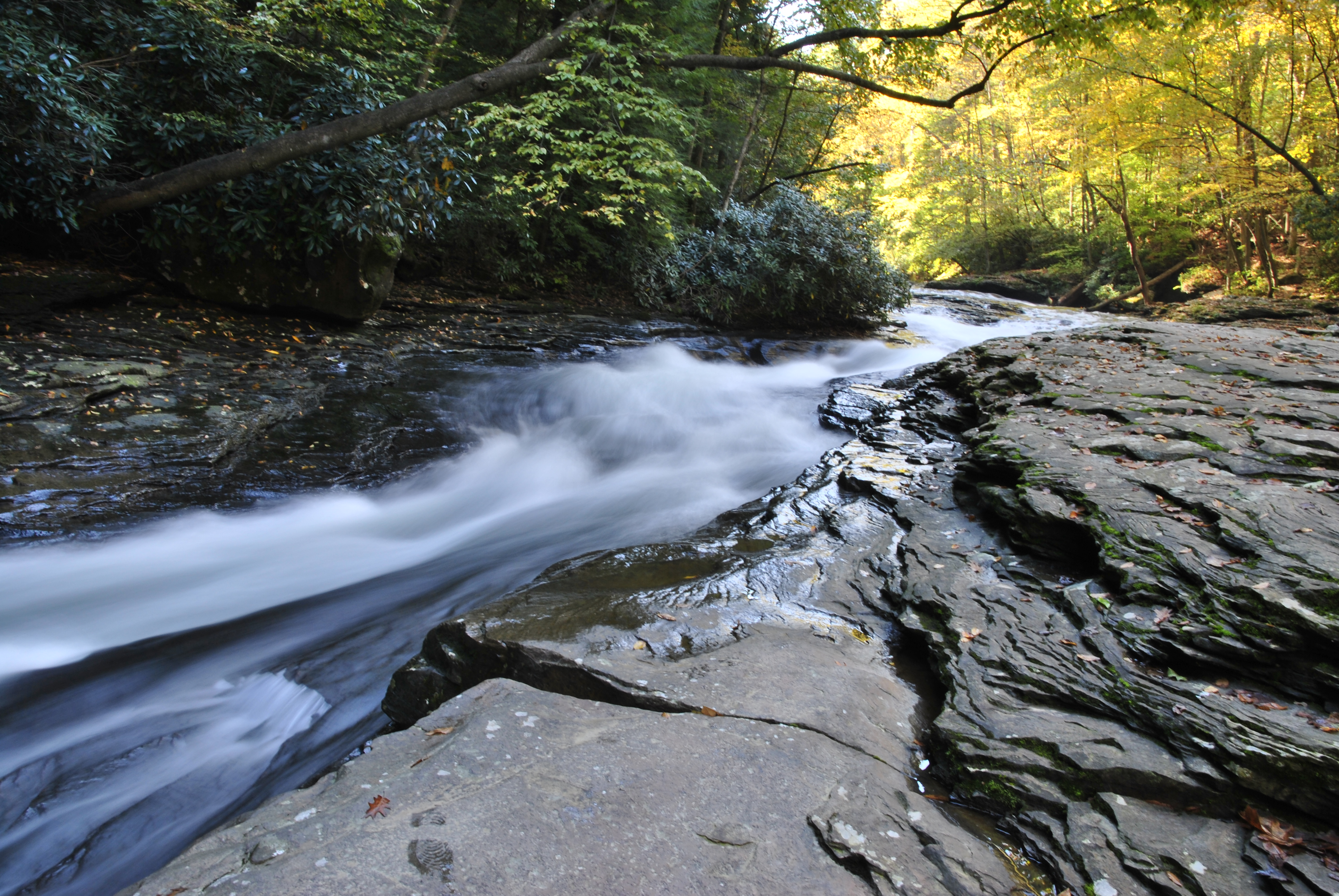 3 easy miles of hiking marked with yellow blazes.There are trailheads near the park office, at the water slides on SR 2011 and at Cucumber Falls on SR 2019. From the water slides parking lot, take the left trail under the SR 381 Bridge for 0.7 mile to Cucumber Falls. Take the trail to the right, which leads to a loop trail and the Cascades. This trail is intersected by a path leading to the SR 2011 trailhead. The water slides are perfect for cooling off after a hot summer hike.
Great Allegheny Passage: With over 150 miles of unpaved converted rail lines, and never more than a 2% incline, opportunities for long and gentle walks are endless. Six trail towns along the way offer great dining, shopping, and tons of other great activities.
Moderate Hiking
 Adams Falls Trail in Linn Run State Park: a 1-mile loop that features a mountain waterfall tucked in among rhododendron and hemlock. This very rocky trail passes by large boulders.
Hemlock Trail in Linn Run State Park: 1.2 miles of moderate hiking, narrow at times and running along steep banks at places,Hemlock Trail loops through the 6-acre nature area. Hemlock Trail Natural Area is a stand of old growth eastern hemlock trees surrounding Laurel Hill Creek.
Wolf Rocks Trail in Forbes State Forest: An easy to moderate 4-mile loop, these trails meander along the Laurel Summit, rewarding hikers with a beautiful, scenic vista that overlooks Wolf Rocks.
Beam Rocks in Forbes State Forest: This 1-mile trail of moderate hiking through large boulders offers some fantastic views.
Difficult Treks
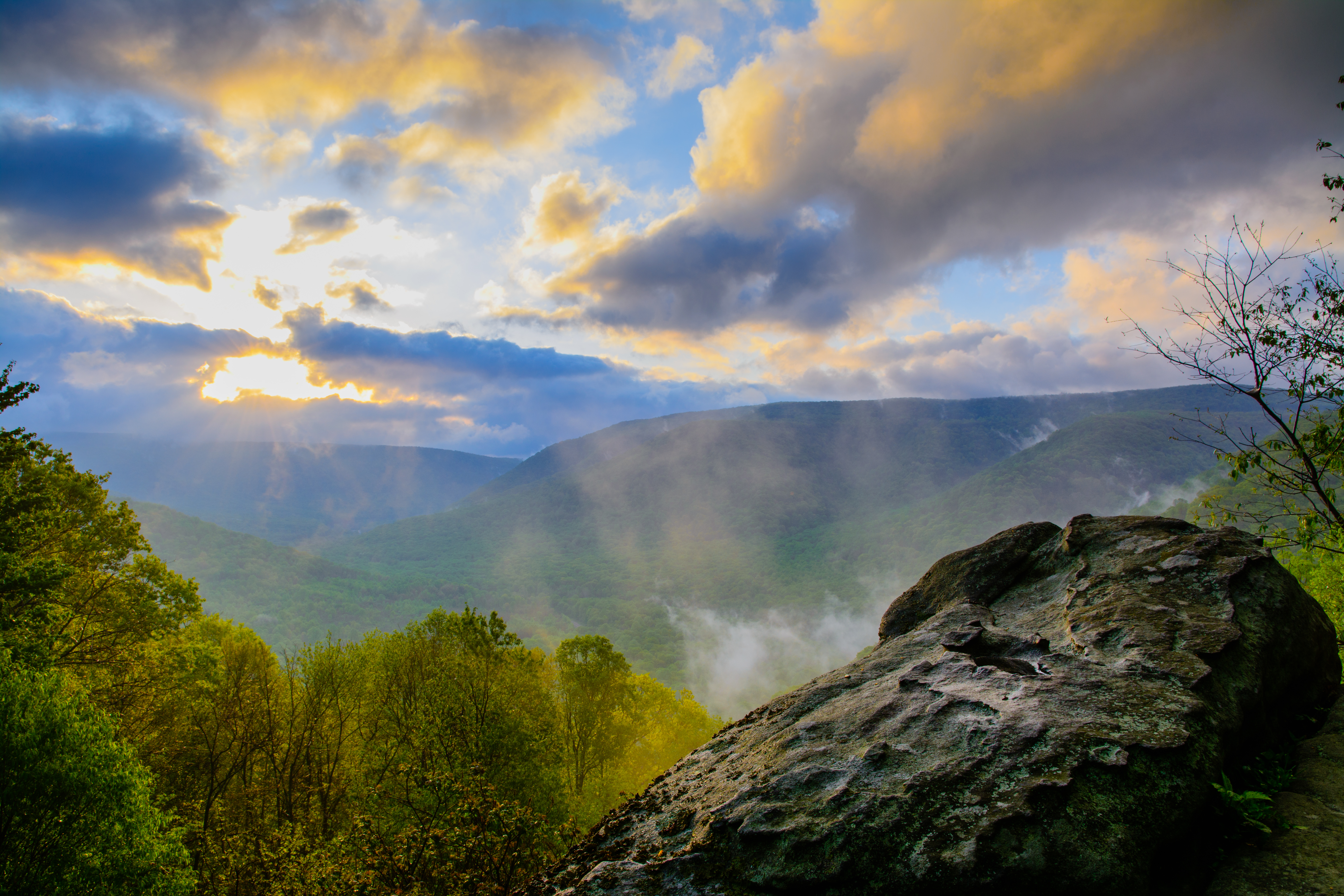 Baughman Trail in Ohiopyle State Park:This 3.4-mile, steep, rocky, and difficult trail passes Baughman Rock Overlook, which offers a spectacular view of the Youghiogheny River Gorge.
McCune Trail in Ohiopyle State Park: 3.5 miles of more difficult hiking passes through the remnants of an old working farm, spring house, and pond. The Trail runs along the highest ridge in the park.
Lake Trail in Laurel Hill State Park: This 1.75-mile trail is the park’s most difficult trail, with narrow, steep, and sloping sections. This scenic trail winds along Laurel Hill Creek and follows the eastern shore of Laurel Hill Lake.
Sugarloaf Trail System in Ohiopyle State Park: 10.4 miles of difficult hiking climbs 800 feet in elevation in two steep sections.
Check out our interactive hiking map for more trail information. Click each point on the map for information about that trail!
Interactive Hiking Trail Map
This map highlights just some of the most popular trails across the Laurel Highlands. The pins on the map have been placed as accurately and as close to the trailhead or parking as possible.
Map Key
 Easy Hikes
  Moderate Trails
 Difficult Treks
  Points of Interest
For more information, check out the DCNR website for each of our parks. The 3,000 square miles of the Laurel Highlands covers 10 state parks and forests, 5 national parks, and lots of local parks. If you have more accurate GPS coordinates for the trailheads, please share them with us. If we’re missing one of your favorite trails, let us know and submit the info here.
Basic Hiking Tips
Don’t forget: Always bring a paper map of the park you’re visiting, wear sturdy shoes, and pack plenty of water. Cell phone coverage is often limited in these secluded parks, so printing a backup of your driving directions is also recommended.