

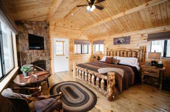

Take bubbling brooks, greenery in abundance, add birdsong, the odd woodpecker pecking away in the distance, the serenity of being outdoors, in the woods, and the result? My mood just soars! Hiking is most definitely food for the soul, and boy, do we have a ton of hiking trails in the Laurel Highlands to explore and fuel YOUR soul. With two state forests (Forbes and Gallitzin, and eight state parks; (Keystone, Kooser, Laurel Hill, Laurel Mountain, Laurel Ridge, Laurel Summit, Linn Run, and Ohiopyle), all encompassed within 3,000 square miles of the Laurel Highlands.
I’ve covered some hiking trails in the Laurel Highlands. I have my favorites. I don’t boast on having accomplished the ‘most difficult’ ones or tread all the trails listed in the DCNR maps, but I certainly enjoy getting out, embracing the wilderness of our forests and woods, drinking in breathtaking vistas, and sometimes fortunate enough to catch a glimpse of native wildlife; deer, turkeys, pheasants, and snakes (thankfully no bears), and enjoy the peace and quiet that outdoors brings to a ‘chattering mind.' Here are my five easy hikes to take away and try…
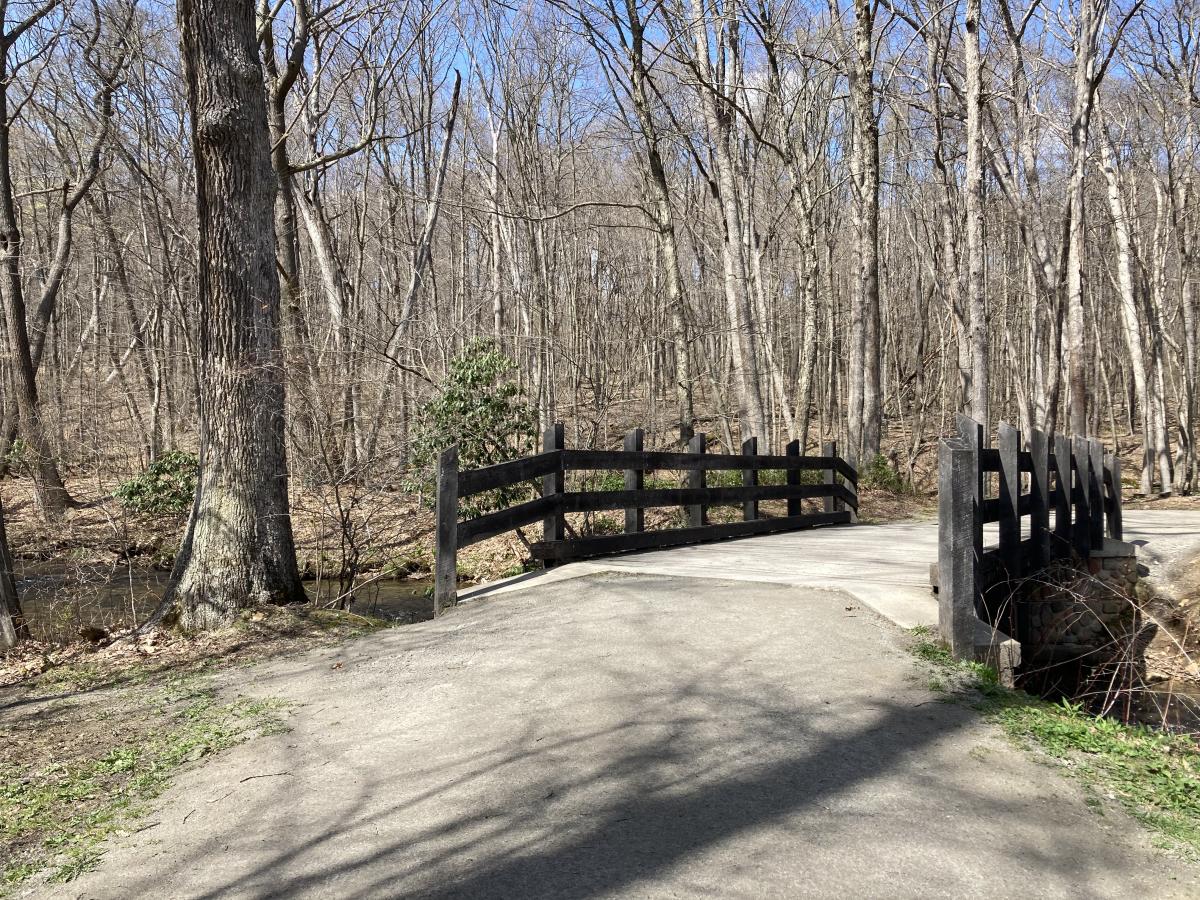
Pumphouse /Tram Road Trail Loop | Laurel Hill State Park | 1.6 miles
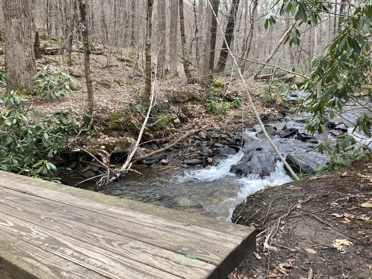
This trail is an easy dirt and gravel path that transitions to a slight incline with a bed of small rocks to traverse, which then levels out for the majority of the trail. Follow the sign for Jones Mill Dam. This is worth a visit as the waterfall is definitely an Instagram/photo opportunity! In the summer, this is a popular swimming hole and trail. From the Jones Mill Dam, you can retrace your steps back to your vehicle, or for an extended moderate-rated hike continue on Pumphouse Trail, which will connect up with other trails in the park for a six-mile hike. The third option, continue as we did along Tram Road Trail. This is a delightful trail that follows Jones Mill Run. You’ll briefly traverse a large rocky bed that will return to a well-maintained dirt and gravel trail, crossing several wooden bridges over streams as you make your way. To return to your vehicle take the trail signposted Pumphouse Trail.
Copper Kettle Trail - Out and Back | Laurel Hill State Park | 1.25 miles
This new trail to the park is a wonderful addition. It enables families with strollers, people with mobility issues, and cyclists to enjoy all that the park offers. A wide, nearly level, gravel trail meanders from the boat launch parking lot, through the woods, and follows the lake all the way to the dam where it crosses the road and continues for another quarter-mile. Along the way you can stop at benches, picnic areas to enjoy the lake view, and of course the beach area, and even stop at Hazelbaker’s Rental, and rent a bike or kayak for a couple of hours.
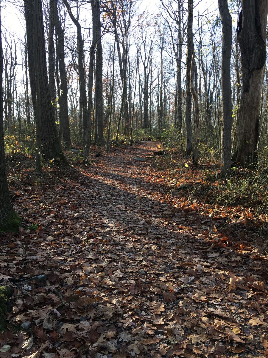
Beam Rocks Trail - Out & Back | Forbes State Forest | 1 mile
This is a favorite with locals and visitors of the Laurel Highlands. Why? Because of the outstanding view, you get from the rock outcrop. The best time AND most popular time to visit Beam Rocks is during the fall when the trees are looking their finest, vibrant fall colors shine across the mountain ridges. The trailhead can be found on Laurel Summit Road, halfway between Laurel Mountain State Park and Laurel Summit State Park. The trail is well-trodden, easy to walk with little elevation and as you continue along the trail you will be embraced by the beauty of the forest. Once you arrive at the rocks, use caution, as you approach the cliff face, and climb the rocks, but you will be rewarded by a breathtaking view. If you prefer to have the beauty spot to yourselves, avoid the weekends in peak season.
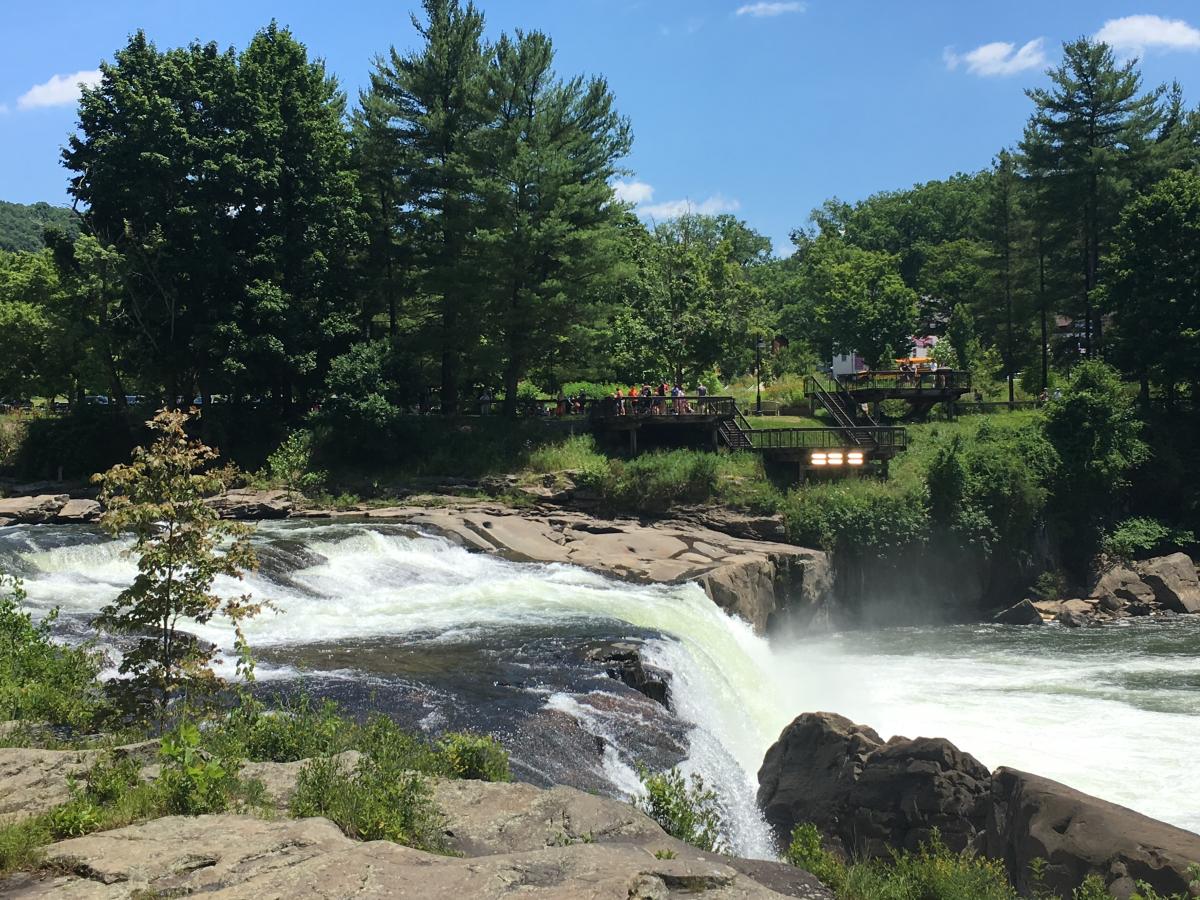
Ferncliff Trail - Loop | Ohiopyle State Park | 2.0 miles
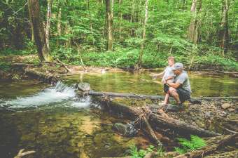
Ohiopyle State Park is the largest state park in Pennsylvania. It offers locals and visitors many outdoor recreational opportunities including whitewater rafting on the Yough, biking along the Great Allegheny Passage (GAP) trail, and hiking many trails. Ohiopyle is super popular during the summer months and the Ferncliff Peninsula, covering 100 acres, is just one of the hot spots to visit. This is due to the unique habitat of rare flora and fauna for Pennsylvania, and it’s worth a visit. We’ve always started the Ferncliff Trail by crossing the GAP bridge and making our way down the steps to join the trail. The trail follows along the river, and if water levels are high, starting at this point will give you a good indication of whether it’s a good idea to continue the hike. It’s fun to climb the flat rocks, observe the river from the other side, and soak in the ambiance of Ohiopyle. The trail will wind away from the river and there will be rocks and roots to dodge, and some elevation along the way, but the forest floor is amazing. Stop and soak in the peace and quiet, in the distance, you will hear the rushing of the falls. This trail is around 2.0 miles, but it also interconnects with other trails on the peninsula. We’ve often spent a couple of hours wandering through the peninsula before heading back to the town of Ohiopyle.
Twin Lakes Horse Trail - Loop | Twin Lakes Westmoreland County Park | 2.5 miles
This trail is a great alternative to the popular loop trails around the upper and lower lakes. Lightly trafficked, you will enjoy a quiet and scenic hike, away from the lake but it will be in your vision at some points. Park your vehicle by Pavilion 5, which is in close proximity to the Park’s Maintenance Building. The trail is not blazed, but it is wide and clearly used. There are some elevated climbs, but the terrain is free of rocks, it does become muddy after a good soaking of rain. The trail does connect up at one point with the Lower Lake Trail. Overall, this trail is a hidden gem of the Twin Lakes County Park.